WMS, WFS, WMTS:
OGC Standards ExplainedWMS, WFS, WMTS:
gli standard OGC spiegati
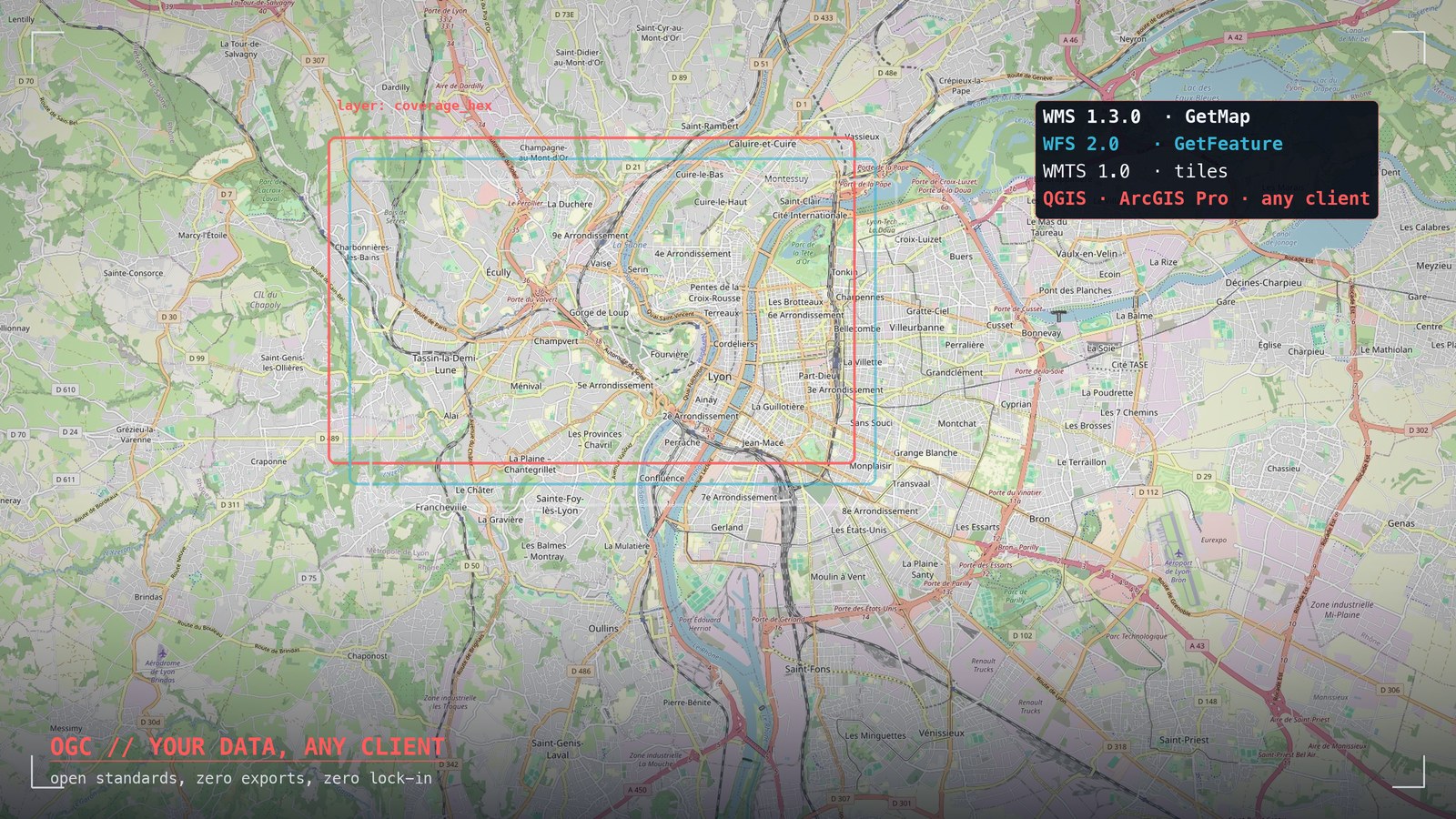
Three acronyms appear in every serious GIS conversation, and they are routinely confused with each other. Understanding what WMS, WFS and WMTS actually deliver — a picture, the data itself, or pre-cut tiles — is the fastest way to judge whether a geospatial platform is genuinely open or merely claims to be.
Tre sigle compaiono in ogni conversazione GIS seria, e vengono regolarmente confuse fra loro. Capire cosa consegnano davvero WMS, WFS e WMTS — un'immagine, il dato stesso, o tessere pre-tagliate — è il modo più rapido per giudicare se una piattaforma geospaziale è aperta davvero o soltanto a parole.
What OGC IsCos'è l'OGC
The Open Geospatial Consortium is the standards body of the geospatial world: an international consortium of agencies, vendors and universities that has been publishing open interface specifications since 1994. An OGC standard is a contract: any client that speaks it can talk to any server that implements it, regardless of who built either side. It is the reason a national mapping agency's server, a desktop GIS from one vendor and a web viewer from another can work on the same data without a single custom integration. When a platform exposes OGC services, your data stops being hostage to that platform's user interface.
L'Open Geospatial Consortium è l'ente di standardizzazione del mondo geospaziale: un consorzio internazionale di agenzie, vendor e università che pubblica specifiche di interfaccia aperte dal 1994. Uno standard OGC è un contratto: qualsiasi client che lo parla può dialogare con qualsiasi server che lo implementa, chiunque abbia costruito le due parti. È il motivo per cui il server di un'agenzia cartografica nazionale, un GIS desktop di un vendor e un viewer web di un altro possono lavorare sugli stessi dati senza una sola integrazione su misura. Quando una piattaforma espone servizi OGC, i tuoi dati smettono di essere ostaggio della sua interfaccia.
WMS vs WFS vs WMTSWMS vs WFS vs WMTS
WMS — Web Map Service — returns a picture. The client asks for a bounding box and a layer list; the server renders the map on its side and sends back an image. The client stays simple and the cartography is controlled centrally, but you cannot touch the underlying features: no filtering by attribute, no client-side restyling, no editing.
WFS — Web Feature Service — returns the data. Real geometries with real attributes, as GML or GeoJSON, filterable server-side. The client renders and styles them however it likes, joins them with other data, runs analysis. Its transactional profile (WFS-T) even allows editing features back on the server. WFS is the difference between looking at a map and working with the data.
WMTS — Web Map Tile Service — returns pre-cut tiles. The map is rendered once into a pyramid of fixed tiles at fixed zoom levels, then served from cache. It trades flexibility for speed: milliseconds per tile, perfect for basemaps and for layers that many people view and nobody edits.
WMS — Web Map Service — restituisce un'immagine. Il client chiede un riquadro e un elenco di layer; il server disegna la mappa dalla sua parte e rimanda un'immagine. Il client resta semplice e la cartografia si controlla centralmente, ma le feature sottostanti non si toccano: niente filtri per attributo, niente restyling lato client, niente editing.
WFS — Web Feature Service — restituisce il dato. Geometrie vere con attributi veri, in GML o GeoJSON, filtrabili lato server. Il client le disegna e le stila come vuole, le incrocia con altri dati, ci fa analisi. Il profilo transazionale (WFS-T) permette perfino di editare le feature sul server. WFS è la differenza fra guardare una mappa e lavorare col dato.
WMTS — Web Map Tile Service — restituisce tessere pre-tagliate. La mappa viene renderizzata una volta in una piramide di tile fisse a zoom fissi, poi servita dalla cache. Scambia flessibilità con velocità: millisecondi a tessera, perfetto per i basemap e per i layer che molti guardano e nessuno edita.
Choosing the Right OneScegliere quello giusto
| You need to…Ti serve… | UseUsa | BecausePerché |
|---|---|---|
| Show an official map, styled centrallyMostrare una mappa ufficiale, stilata centralmente | WMS | Server-side rendering, one source of truth for symbologyRendering lato server, un'unica verità per la simbologia |
| Analyse, filter, restyle or edit featuresAnalizzare, filtrare, ristilare o editare feature | WFS | You get geometries and attributes, not pixelsRicevi geometrie e attributi, non pixel |
| Serve a basemap to many users, fastServire un basemap a molti utenti, veloce | WMTS | Pre-rendered pyramid, cache-friendly by constructionPiramide pre-renderizzata, cache-friendly per costruzione |
A mature platform offers all three from the same layers, because the same dataset serves different audiences: the regulator wants the official picture (WMS), the analyst wants the features (WFS), the public viewer wants speed (WMTS).
Una piattaforma matura offre tutti e tre dagli stessi layer, perché lo stesso dataset serve pubblici diversi: il regolatore vuole il quadro ufficiale (WMS), l'analista vuole le feature (WFS), il viewer pubblico vuole velocità (WMTS).
Standards and Lock-inStandard e lock-in
The uncomfortable question to ask any vendor is not “can I export my data?” — everyone says yes — but “can another tool work on my data while it lives in your platform?”. Exports are snapshots that age immediately; standard interfaces are live doors. If the answer involves proprietary SDKs or per-seat viewer licences, the data is technically yours and practically theirs. OGC endpoints reverse the power balance: the day you want to leave, the same doors you used every day become your exit.
La domanda scomoda da fare a qualsiasi vendor non è «posso esportare i miei dati?» — tutti rispondono sì — ma «un altro strumento può lavorare sui miei dati mentre vivono nella vostra piattaforma?». Gli export sono fotografie che invecchiano subito; le interfacce standard sono porte vive. Se la risposta coinvolge SDK proprietari o licenze viewer a postazione, il dato è tecnicamente tuo e praticamente loro. Gli endpoint OGC ribaltano il rapporto di forza: il giorno in cui vorrai andartene, le stesse porte che usavi ogni giorno diventano la tua uscita.
OGC in NEXT FusionOGC in NEXT Fusion
NEXT Fusion exposes WMS 1.3.0, WFS 2.0 and WMTS 1.0.0 out of the box, on the same layers you see in the web app — coverage rasters, drive test features, network assets. Paste one URL into QGIS or ArcGIS Pro and your layers appear, always current, no export step. It is our answer to the lock-in question, in production.
NEXT Fusion espone WMS 1.3.0, WFS 2.0 e WMTS 1.0.0 pronti all'uso, sugli stessi layer che vedi nella web app — raster di copertura, feature di drive test, asset di rete. Incolli un URL in QGIS o ArcGIS Pro e i tuoi layer compaiono, sempre aggiornati, senza passaggio di export. È la nostra risposta alla domanda sul lock-in, in produzione.