Your data. Your tools.I tuoi dati. I tuoi strumenti.
Open by default.Aperti per definizione.
NEXT Fusion speaks OGC natively. Open your coverage layers, drive test results and network assets straight in QGIS, ArcGIS Pro or any OGC client — no exports, no conversions, no lock-in.NEXT Fusion parla OGC in modo nativo. Apri i tuoi layer di copertura, i risultati dei drive test e gli asset di rete direttamente in QGIS, ArcGIS Pro o qualsiasi client OGC — senza export, senza conversioni, senza lock-in.
The problemIl problema
“Your coverage analysis lives in one tool, your planning in another. Every comparison starts with a manual export.L'analisi di copertura sta in uno strumento, la pianificazione in un altro. Ogni confronto inizia con un export manuale.”
“Exported files are stale the moment they land on a desktop — and nobody knows which version is the good one.Il file esportato è già vecchio quando arriva sul desktop — e nessuno sa più quale versione sia quella buona.”
“Proprietary formats make the platform hard to leave. That is a reason not to enter it.I formati proprietari rendono difficile lasciare la piattaforma. Ed è un buon motivo per non entrarci.”
Before / AfterPrima / Dopo
| TodayOggi | With NEXT FusionCon NEXT Fusion |
|---|---|
| CSV/SHP export, e-mail, re-importExport CSV/SHP, invio via email, reimport | One OGC URL pasted into QGIS, always up to dateUn URL OGC incollato in QGIS, sempre aggiornato |
| Every analyst works on a different copyOgni analista lavora su una copia diversa | One source of truth, tenant-level permissionsUna sola fonte, permessi per tenant |
| Styles rebuilt by hand every timeStili rifatti a mano a ogni giro | QGIS project generated with layers already styledProgetto QGIS generato con i layer già stilatiComing 2026In arrivo 2026 |
How it worksCome funziona
Standard OGC services, already liveServizi OGC standard, già attivi
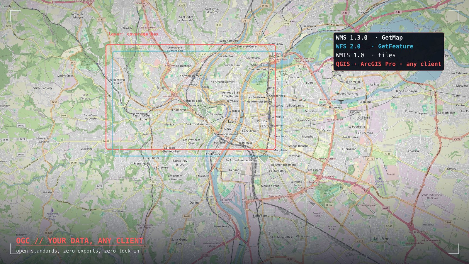
The platform exposes WMS 1.3.0, WFS 2.0 and WMTS 1.0.0 out of the box. Point any desktop GIS at the endpoint and your layers appear — rendered server-side or as raw features, your choice.La piattaforma espone WMS 1.3.0, WFS 2.0 e WMTS 1.0.0 pronti all'uso. Punta un GIS desktop all'endpoint e i tuoi layer compaiono — renderizzati lato server o come feature grezze, a tua scelta.
- WMS 1.3.0 — server-rendered mapsWMS 1.3.0 — mappe renderizzate
- WFS 2.0 — vector features and GeoJSONWFS 2.0 — feature vettoriali e GeoJSON
- WMTS 1.0.0 — pyramidal tile cacheWMTS 1.0.0 — tile cache piramidale
- OGC API Features (JSON)OGC API Features (JSON)Coming 2026In arrivo 2026
Tenant-authenticated accessAccesso autenticato per tenant
Coming 2026In arrivo 2026Connect with your own credentials and see exactly the layers you are entitled to — the same row-level isolation that protects your data in the web app applies to the OGC endpoints.Ti colleghi con le tue credenziali e vedi esattamente i layer a cui hai diritto — lo stesso isolamento a livello di riga che protegge i tuoi dati nella web app vale anche sugli endpoint OGC.
- Sign in with your platform credentialsLogin con le credenziali della piattaforma
- Tenant isolation enforced on OGC servicesIsolamento per tenant applicato ai servizi OGC
- Expiring tokens for temporary sharesToken a scadenza per condivisioni temporanee
- Service access loggingLog degli accessi ai servizi
Ready-to-use QGIS projectProgetto QGIS pronto all'uso
Coming 2026In arrivo 2026Download a ready-made QGIS project with your layers, symbology and grouping already in place. Open it and start working — no setup.Scarichi un progetto QGIS già pronto con i tuoi layer, la simbologia e i raggruppamenti al loro posto. Lo apri e lavori — zero configurazione.
Export towards radio toolsExport verso gli strumenti radio
Coverage simulations export as Cloud-Optimized GeoTIFF, ready for QGIS, Atoll and standard raster workflows. Vector results export as GeoJSON, Shapefile, GeoPackage, KML/KMZ.Le simulazioni di copertura si esportano in GeoTIFF Cloud-Optimized, pronte per QGIS, Atoll e i flussi raster standard. I risultati vettoriali si esportano in GeoJSON, Shapefile, GeoPackage, KML/KMZ.
- GeoTIFF COG from Cell Planner simulationsGeoTIFF COG dalle simulazioni Cell Planner
- Import of Shapefile, GeoPackage, KML/KMZ, GeoJSONImport di Shapefile, GeoPackage, KML/KMZ, GeoJSON
- Server-side data editing from QGIS (WFS-T)Editing dei dati server-side da QGIS (WFS-T)Coming 2026In arrivo 2026
- "NEXT Connect" QGIS pluginPlugin QGIS "NEXT Connect"Coming 2026In arrivo 2026
What you see in a demoCosa vedi in demo
A coverage layer opened live in QGIS from a WMS URL — no file exchanged.Un layer di copertura aperto live in QGIS da un URL WMS — nessun file scambiato.
The same drive-test features queried as WFS and filtered client-side.Le stesse feature di drive test interrogate via WFS e filtrate lato client.
A Cell Planner simulation exported as GeoTIFF COG and dropped into a raster workflow.Una simulazione Cell Planner esportata in GeoTIFF COG e inserita in un flusso raster.
How to startCome iniziare
Tell us which GIS tools your team works in today.Dicci con quali strumenti GIS lavora oggi il tuo team.
We connect a sandbox tenant with your data formats and your OGC clients.Colleghiamo un tenant sandbox con i tuoi formati e i tuoi client OGC.
Book a working session with one of our engineers to wire it into your workflow.Prenota una sessione di lavoro con un nostro ingegnere per innestarlo nel tuo flusso.