Coverage Interpolation
Coverage interpolation
Switched on upon request for your organisation, inside NEXT Fusion.
TypeExtensionfor XPLAN
FamilyMobile networkas in the launcher
WhereWeb · tabletinside NEXT Fusion
LanguagesIT · ENinterface and manual
LicenceIncludedper organisation
What it does
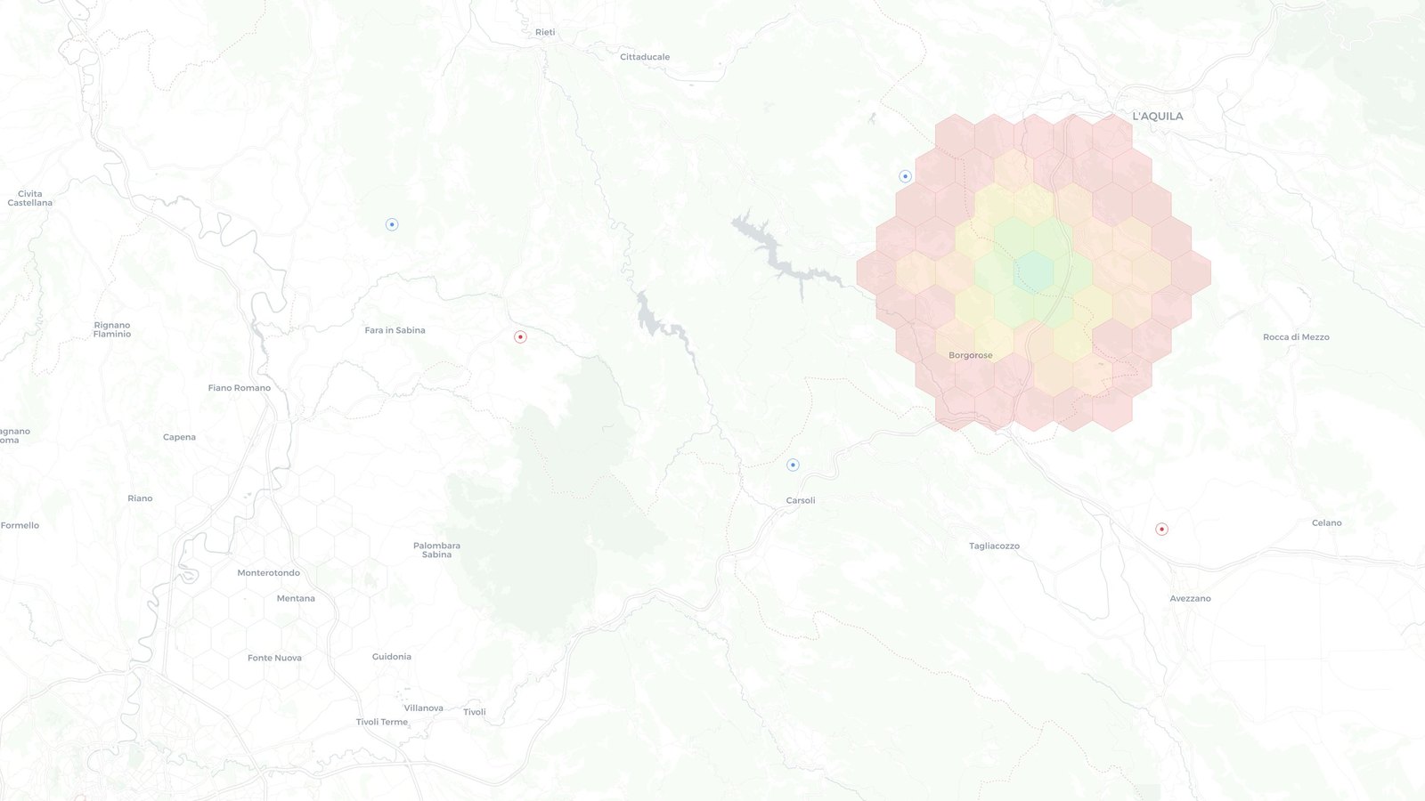
Coverage Interpolation estimates coverage across a whole area drawn on the map, starting from your organisation's field measurements. Hexagons with no measurements nearby stay empty: the estimate never invents values where nobody has measured.
Features
- Measurements from Drive Test (RSRP, RSRQ, SINR), Speed Test (download, upload) and WiFi Walk (RSSI)
- IDW, Smoothed and Nearest methods, with detail and search radius set automatically or by hand
- The filters of the source layer apply: period, technology, bands, operator, terminal and places
- Results with area, measurements used, estimated share, median and distribution by class in the legend colours
- Click a hexagon for the estimated value, the distance to the nearest measurement and the supporting points; GeoJSON export
How to use
- Draw an area with a right-click on the map: circle, square, hexagon or polygon
- Open Coverage Interpolation from the area menu
- Choose the measurement and the method, then adjust the opacity
- Click the hexagons for details or export the result as GeoJSON
Works with
Information
Publisherarimas
Version1.1.0
RequiresXPLAN
PermitsRead data
Talk to usParla con noi
Tell us your use case: we'll tell you which XPACKs to switch on and how to start inside NEXT Fusion.Raccontaci il caso d'uso: ti diciamo quali XPACK accendere e come partire dentro NEXT Fusion.