XPLAY › Fibre and infrastructure › XROAD
XROAD
AI road condition
Switched on upon request for your organisation, inside NEXT Fusion.
TypeEnvironment—
FamilyFibre and infrastructureas in the launcher
WhereWeb · tabletinside NEXT Fusion
LanguagesIT · ENinterface and manual
LicenceOn requestper organisation
What it does
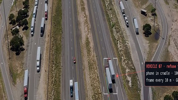
XROAD measures pavement condition segment by segment with phones mounted on vehicles that are already on the road, and helps decide where to intervene with the budget available. It is built for local authorities, road operators and maintenance companies.
Features
- Road network in 50 m segments coloured by class from A to D, with never-surveyed segments clearly marked
- Segment card: frame, index, defects and 12-month history with the forecast date below threshold
- AI classification of frames with RAVEN: potholes, cracks, ruts, patches, road markings and roadside assets
- AI review: every proposed object is confirmed or rejected, with the frames it was seen in
- Intervention plan within the budget, with criteria, segments in and out, and an explanation
- People, faces and plates blurred in the frames before they are stored
How to use
- Install SPOTTER on the vehicles' phones and record the surveys
- Open XROAD from the launcher and process the incoming surveys
- Run the AI classification and confirm the defects in the AI review
- Set costs and criteria in the Rules and compute the plan within the budget
Talk to usParla con noi
Tell us your use case: we'll tell you which XPACKs to switch on and how to start inside NEXT Fusion.Raccontaci il caso d'uso: ti diciamo quali XPACK accendere e come partire dentro NEXT Fusion.