GNSS Explained: How Satellite
Positioning Really WorksIl GNSS spiegato: come funziona davvero
il posizionamento satellitare
Every sample in a geospatial platform — every drive test point, every fleet position, every drone measurement — begins life as a GNSS fix. Yet few people who depend on those fixes daily could explain where they come from, why they are sometimes wrong by thirty metres, or what a phone actually does in the two seconds before the blue dot appears. This guide fixes that, with original diagrams.
Ogni campione di una piattaforma geospaziale — ogni punto di drive test, ogni posizione di flotta, ogni misura da drone — nasce come fix GNSS. Eppure poche delle persone che dipendono ogni giorno da quei fix saprebbero spiegare da dove vengono, perché a volte sbagliano di trenta metri, o cosa faccia davvero un telefono nei due secondi prima che il pallino blu compaia. Questa guida rimedia, con diagrammi originali.
The Principle: Time Is PositionIl principio: il tempo è posizione
A GNSS satellite does one thing, obsessively: it broadcasts the time from an atomic clock, together with its own orbital position. Your receiver compares the transmitted time with its own clock. The difference, multiplied by the speed of light, is the distance to that satellite — and the set of points at that distance is a sphere around it. One satellite gives a sphere, two give a circle, three give a point.
The subtlety that makes it all work: your phone's clock is nowhere near atomic quality, and at the speed of light a microsecond of clock error is three hundred metres of position error. The receiver therefore solves for four unknowns — latitude, longitude, altitude, and its own clock bias — which is why a fix requires a fourth satellite. Every GNSS receiver on Earth is, before anything else, a device that steals precise time from space.
Un satellite GNSS fa una cosa sola, ossessivamente: trasmette l'ora di un orologio atomico, insieme alla propria posizione orbitale. Il ricevitore confronta l'ora trasmessa con il proprio orologio. La differenza, moltiplicata per la velocità della luce, è la distanza da quel satellite — e l'insieme dei punti a quella distanza è una sfera attorno ad esso. Un satellite dà una sfera, due un cerchio, tre un punto.
La sottigliezza che fa funzionare tutto: l'orologio del telefono è lontanissimo dalla qualità atomica, e alla velocità della luce un microsecondo di errore d'orologio sono trecento metri di errore di posizione. Il ricevitore risolve quindi quattro incognite — latitudine, longitudine, quota e il bias del proprio orologio — ed è per questo che un fix richiede un quarto satellite. Ogni ricevitore GNSS sulla Terra è, prima di ogni altra cosa, un dispositivo che ruba tempo preciso allo spazio.
Where the Metres GoDove finiscono i metri
In open sky a modern receiver lands within 2–5 metres. The error budget that eats the rest: the ionosphere delays the signal unpredictably (the largest single term, partly corrected by dual-frequency receivers); satellite geometry — when the visible satellites cluster in one patch of sky, the spheres intersect at a shallow angle and small ranging errors become large position errors (the “dilution of precision”); and above all, in cities, multipath: the signal reaches the antenna after bouncing off glass and concrete, so the receiver measures a path longer than the straight line. That is why the dot drifts across the street in a downtown canyon and dies entirely in tunnels — no bounce can replace a sky that is not there.
A cielo aperto un ricevitore moderno atterra entro 2–5 metri. Il budget d'errore che si mangia il resto: la ionosfera ritarda il segnale in modo imprevedibile (il termine singolo più grande, in parte corretto dai ricevitori a doppia frequenza); la geometria dei satelliti — quando i satelliti visibili si ammassano in una zona di cielo, le sfere si intersecano ad angolo radente e piccoli errori di distanza diventano grandi errori di posizione (la «diluizione della precisione»); e soprattutto, in città, il multipath: il segnale raggiunge l'antenna dopo essere rimbalzato su vetro e cemento, e il ricevitore misura un percorso più lungo della linea retta. Ecco perché il pallino deriva dall'altra parte della strada nei canyon urbani e muore del tutto in galleria — nessun rimbalzo può sostituire un cielo che non c'è.
Four Constellations, One ReceiverQuattro costellazioni, un ricevitore
“GPS” is a brand that became a generic word: the American system is one of four global constellations, alongside Russia's GLONASS, Europe's Galileo and China's BeiDou. They differ in orbit altitude, signal design and civil accuracy — Galileo currently offers the best free civil precision — but the practical revolution is that a modern phone tracks all of them at once. Forty-plus visible satellites instead of eight means better geometry everywhere, faster fixes, and enough redundancy to survive an urban canyon that would have starved a GPS-only receiver.
«GPS» è un marchio diventato parola generica: il sistema americano è una delle quattro costellazioni globali, insieme al GLONASS russo, al Galileo europeo e al BeiDou cinese. Differiscono per quota orbitale, disegno del segnale e precisione civile — Galileo offre oggi la migliore precisione civile gratuita — ma la rivoluzione pratica è che un telefono moderno le traccia tutte insieme. Più di quaranta satelliti visibili invece di otto significano geometria migliore ovunque, fix più rapidi, e ridondanza sufficiente a sopravvivere a un canyon urbano che avrebbe affamato un ricevitore solo-GPS.
Getting Better FixesFix migliori
Above the standard fix sit the correction techniques: SBAS (satellite-broadcast corrections, metre-level), RTK — a nearby base station shares its observed errors in real time, taking a rover to centimetres — and PPP, which achieves decimetres anywhere at the price of convergence time. And where the sky disappears entirely, positioning continues by dead reckoning: accelerometers, gyros and wheel speed carry the trajectory through the outage until satellites return. The art is in the fusion — and in being honest about which samples are measured and which are inferred.
Sopra il fix standard stanno le tecniche di correzione: SBAS (correzioni trasmesse via satellite, precisione metrica), RTK — una base vicina condivide in tempo reale gli errori che osserva, portando un rover ai centimetri — e il PPP, che raggiunge i decimetri ovunque al prezzo del tempo di convergenza. E dove il cielo sparisce del tutto, il posizionamento continua per navigazione stimata: accelerometri, giroscopi e velocità ruota portano la traiettoria attraverso l'interruzione finché i satelliti non tornano. L'arte sta nella fusione — e nell'essere onesti su quali campioni siano misurati e quali inferiti.
Why It Matters to a PlatformPerché conta per una piattaforma
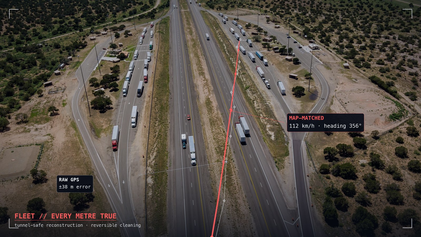
A platform that treats every fix as equally true builds confident maps out of bad data. NEXT Fusion is built on the opposite assumption: fixes carry quality, urban fixes lie, tunnels happen. Positions are snapped to the road graph, outages are bridged with dead reckoning and marked as reconstructed, originals are never destroyed — and every measurement, from a car or from a drone, lands with its full 3D position. Knowing how GNSS fails is exactly what it takes to build a platform you can trust when it does.
Una piattaforma che tratta ogni fix come ugualmente vero costruisce mappe sicure di sé su dati cattivi. NEXT Fusion è costruita sull'assunzione opposta: i fix hanno una qualità, i fix urbani mentono, le gallerie esistono. Le posizioni si agganciano al grafo stradale, le interruzioni si colmano con la navigazione stimata e si marcano come ricostruite, gli originali non si distruggono mai — e ogni misura, da un'auto o da un drone, arriva con la sua posizione 3D completa. Sapere come il GNSS fallisce è esattamente ciò che serve per costruire una piattaforma di cui fidarsi quando fallisce.